Day 65- Kingston, ON to Trenton, ON
As you can see from the route map and this screen shot, today was a 70 mile day zig-zagging along protected waterways of northern Lake Ontario from Kingston to Trenton.
We were moving at 6 this morning.
Kingston Penitentiary
East Brother's Island
Close up of East Brother's Island.
It was described as a cool island with a lot of birds.
The sun broke through the clouds.
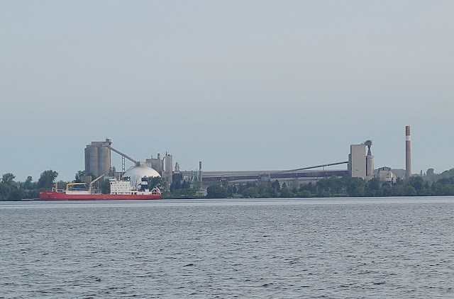
LafargeHolcim Bath Cement Plant
We passed a few power plants today.
The Amherst Island Ferry
Ferry Dock Amherst Island Side North Shore
Skyway Bridge on Hwy 49
The chart plotter has a feature called "Auto Guidance". You can indicate a destination and it will figure out the route, which the autopilot will follow. It works pretty well and I have been using it, even on the Rideau canal. But you need to pay attention for weird stuff, like this little jog. There was absolutely no reason for it. I disconnected the autopilot from the route until we were past this bit. Trust, but verify...
This was the view we had most of the day.
The lighthouses in Ontario all look the same with the exception of a green top or a red top. The color indicates the channel like the channel markers do.
Sky line coming into Trenton, ON
Docked at Trent Port Marina. Fueled up, pumped out and air Conditioning on.
You see what awaits us now.
--------------------------------------------------------------------------------------------
Paul comments in this font
Cheryl comments in this font


FYI Debbie C has a relative who lives on the canal in Peterbourgh near a famous lift lock. He’s a RCMP Mountie He shared that Rocky Lake lives up to its name another husband of a relative salvaged a 55ft yacht that strayed while answering a cell phone. A true story. If you need a hand in PB he could help. Call DC if needed
ReplyDelete